Lokes Høje, barrow
Just south of the river of Kongeåen – where Frihedsvej and the Ancient Road cycling route meet – you find the heritage monument of Lokes Høje (Mounds of Loki).
The four barrows from the Early Bronze Age are some of the last remaining such barrows in the area between Københoved and the river, an area that was densely populated in prehistoric times. From the top of the barrows you can enjoy magnificent views over the river valley of Kongeådalen. There is a difference in altitude between the river, which is 12 meters above sea level, and the peak of the barrow, which is 55 meters above sea level. So if you are walking from the river to the hilltop you’ll be trekking uphill along a path that offers scenic views of the valley and landscape.
The origin of the name Lokes Høje is unknown.
Access
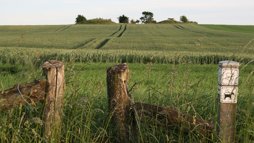
You can access Lokes Høje through a gate by the road of Københovedvej. You are allowed to walk across the field up to the hills along the signposted path, but please show respect towards any crops growing on the field.
Trig points
High up on the hilltop there is a stone trig point. Together with 330 other such similar stones, the trig points form a network of trigonometric stations, each of which are an approximately 1 meter in height and are generally made of granite and firmly placed on a concrete foundation. At the top, a metal marker is embedded, which indicates the exact position and location of the trig point. The 331 sites nationwide were selected to facilitate accurate surveying and mapping back in a time before satellites, GPS and Google Maps made these physical markers redundant.